
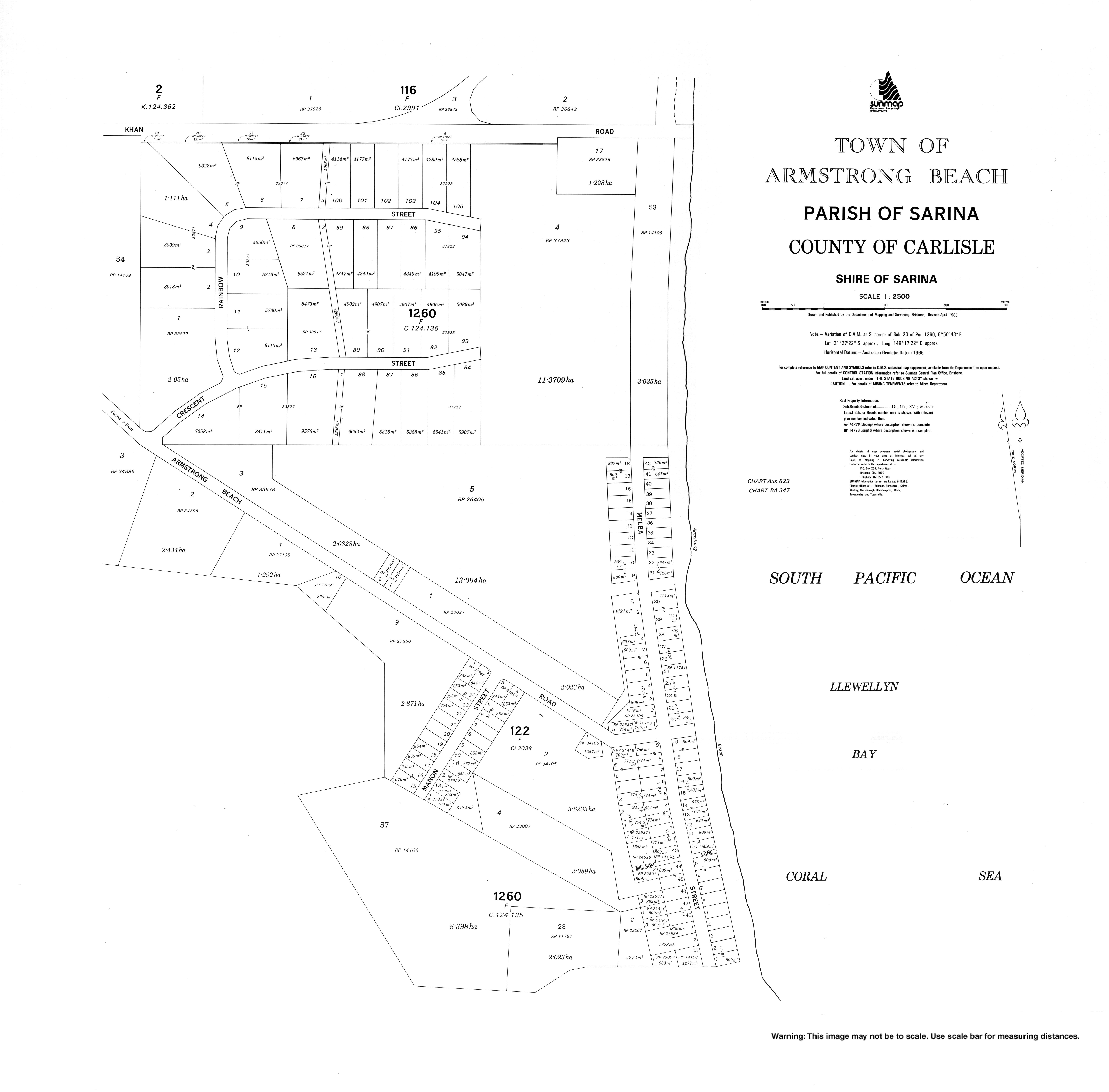
Armstrong Beach, Queensland
| Armstrong Beach Queensland | |||||||||||||||
|---|---|---|---|---|---|---|---|---|---|---|---|---|---|---|---|
 Armstrong Beach | |||||||||||||||
| Coordinates | 21°27′09″S 149°17′26″E / 21.4525°S 149.2905°E | ||||||||||||||
| Population | 863 (2016 census)[1] | ||||||||||||||
| • Density | 40.33/km2 (104.45/sq mi) | ||||||||||||||
| Postcode(s) | 4737 | ||||||||||||||
| Area | 21.4 km2 (8.3 sq mi) | ||||||||||||||
| Time zone | AEST (UTC+10:00) | ||||||||||||||
| Location | |||||||||||||||
| LGA(s) | Mackay Region | ||||||||||||||
| State electorate(s) | Mirani | ||||||||||||||
| Federal division(s) | Capricornia | ||||||||||||||
| |||||||||||||||
Armstrong Beach is a coastal town and a locality in the Mackay Region, Queensland, Australia.[2][3] In the 2016 census, Armstrong Beach had a population of 863 people.[1]
Geography[edit]
The waters of the Coral Sea form the eastern boundary.[4]
History[edit]
The locality was mistakenly named and bounded on 4 June 1999 as Armstrong Creek but was corrected on 19 November 1999 to be Armstrong Beach.[3]
In the 2016 census, Armstrong Beach had a population of 863 people.[1]
Education[edit]
There are no schools in Armstrong Beach. The nearest government primary and secondary schools are Sarina State School and Sarina State High School, both in neighbouring Sarina to the west.[5]
References[edit]
- ^ a b c Australian Bureau of Statistics (27 June 2017). "Armstrong Beach (SSC)". 2016 Census QuickStats. Retrieved 20 October 2018.
- ^ "Armstrong Beach – town in Mackay Region (entry 831)". Queensland Place Names. Queensland Government. Retrieved 16 November 2018.
- ^ a b "Armstrong Beach – locality in Mackay Region (entry 49373)". Queensland Place Names. Queensland Government. Retrieved 16 November 2018.
- ^ Google (20 August 2021). "Armstrong Beach, Queensland" (Map). Google Maps. Google. Retrieved 20 August 2021.
- ^ "Queensland Globe". State of Queensland. Retrieved 12 June 2022.
External links[edit]