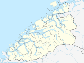
Runde West Side Bird Sanctuary
| Runde West Side Bird Sanctuary | |
|---|---|
| Runde vestside fuglefredningsområde | |
| Nearest city | Runde |
| Coordinates | 62°22′48″N 5°36′36″E / 62.38000°N 5.61000°E |
| Area | 85 ha (210 acres) |
| Established | 1981 |
| Designated | 27 May 2013 |
| Part of | Runde |
| Reference no. | 2164[1] |
The Runde West Side Bird Sanctuary (Norwegian: Runde vestside fuglefredningsområde) is a bird sanctuary and Ramsar site on the island of Runde in the municipality of Herøy in Møre og Romsdal county, Norway. The area was protected in 1981 together with three other bird sanctuaries in order to "take care of rich and interesting bird life and a bird habitat, especially with respect to seabirds,"[2] according to the conservation regulations. The four sites have a total area of 2.6 square kilometers (1.0 sq mi).
The area covers the west side of the bird cliff on Runde, from just south of the Runde Lighthouse all the way to the southwest end of the island with the Lundeura and Raudenipa viewing points.
In 2013, the area was designated a Ramsar wetland site as one of five subareas of the Runde Ramsar Site.[3]
References[edit]
- ^ "Runde". Ramsar Sites Information Service. Retrieved 25 April 2018.
- ^ "Forskrift om vern for 4 fuglefredningsområder og vern av fuglelivet på og omkring Runde i Herøy og Ulstein kommunar, Møre og Romsdal". December 13, 1996. Retrieved August 3, 2017.
ta vare på eit rikt og interessant fugleliv og fuglane sitt livsmiljø, serleg med omsyn til sjøfuglkoloniane
- ^ Forvaltingsplan for Runde og Grasøyane fuglefredingsområde Goksøyrmyrane naturreservat Herøy og Ulstein kommunar. 2013. Molde: Fylkesmannen i Møre og Romsdal, p. 3.
External links[edit]
- lovdata.no, Forskrift om vern for 4 fuglefredningsområder og vern av fuglelivet på og omkring Runde i Herøy og Ulstein kommunar, Møre og Romsdal (Regulations for Protection of Four Bird Sanctuaries and Protection of Bird Life on and around Runde in the Municipalities of Herøy and Ulstein, Møre og Romsdal)
- Mijlø-direktoratet: Runde
- Miljøverndepartementet. 1981. Runde fredningsområde. 1:5,000 map of the nature reserve.
- Runde Bird Sanctuary. 2010. County Governor of Møre and Romsdal.


