
Birami
Birami
Birhami | |
|---|---|
village | |
 Birami Location in Rajasthan, India  Birami Birami (India) | |
| Coordinates: 26°09′20″N 73°13′32″E / 26.15556°N 73.22556°E | |
| Country | |
| State | Rajasthan |
| District | Jodhpur |
| Taluka | Luni |
| Population (2001) | |
| • Total | 1,790 |
| Time zone | UTC+5:30 (IST) |
| ISO 3166 code | RJ-IN |
| Vehicle registration | RJ- |
| Climate | Dry (Köppen: BSh) |
| Lok Sabha constituency | Pali |
| Vidhan Sabha constituency | Bilara SC |
Birami is a panchayat village[1] in Rajasthan, India, on the right (north) bank of the Luni River.[2][3] Administratively, it is under Luni Taluka, Jodhpur district, Rajasthan.[4]
There are four villages in the Birami gram Panchayat: Birami, Birdawas, Miyasani, and Peethasani.[4] Indian cricketer Ravi_Bishnoi also belong to birami village.
Geography[edit]
The village of Birami is 32 km by road southeast of the city of Jodhpur, located between the Mitri River to the north, and the Luni River to the south, just 4 km upstream (east) of the confluence of the two rivers.[2] As the village is at the eastern edge of the Thar Desert, the rivers only run in monsoon season.[5] The nearest railway station is at Tanawara, 30 km by road to the west.
Demographics[edit]
In the 2001 census, the village of Birami had 1,790 inhabitants, with 944 males (52.7%) and 846 females (47.3%), for a gender ratio of 896 females per thousand males.[6]
Points of interest[edit]
The temple of Bhuwal mata is located in Birami village.[7]
Notes[edit]
- ^ 2011 Village Panchayat Code for Birami = 35731, "Reports of National Panchayat Directory: Village Panchayat Names of Luni, Jodhpur, Rajasthan". Ministry of Panchayati Raj, Government of India. Archived from the original on 13 May 2013.
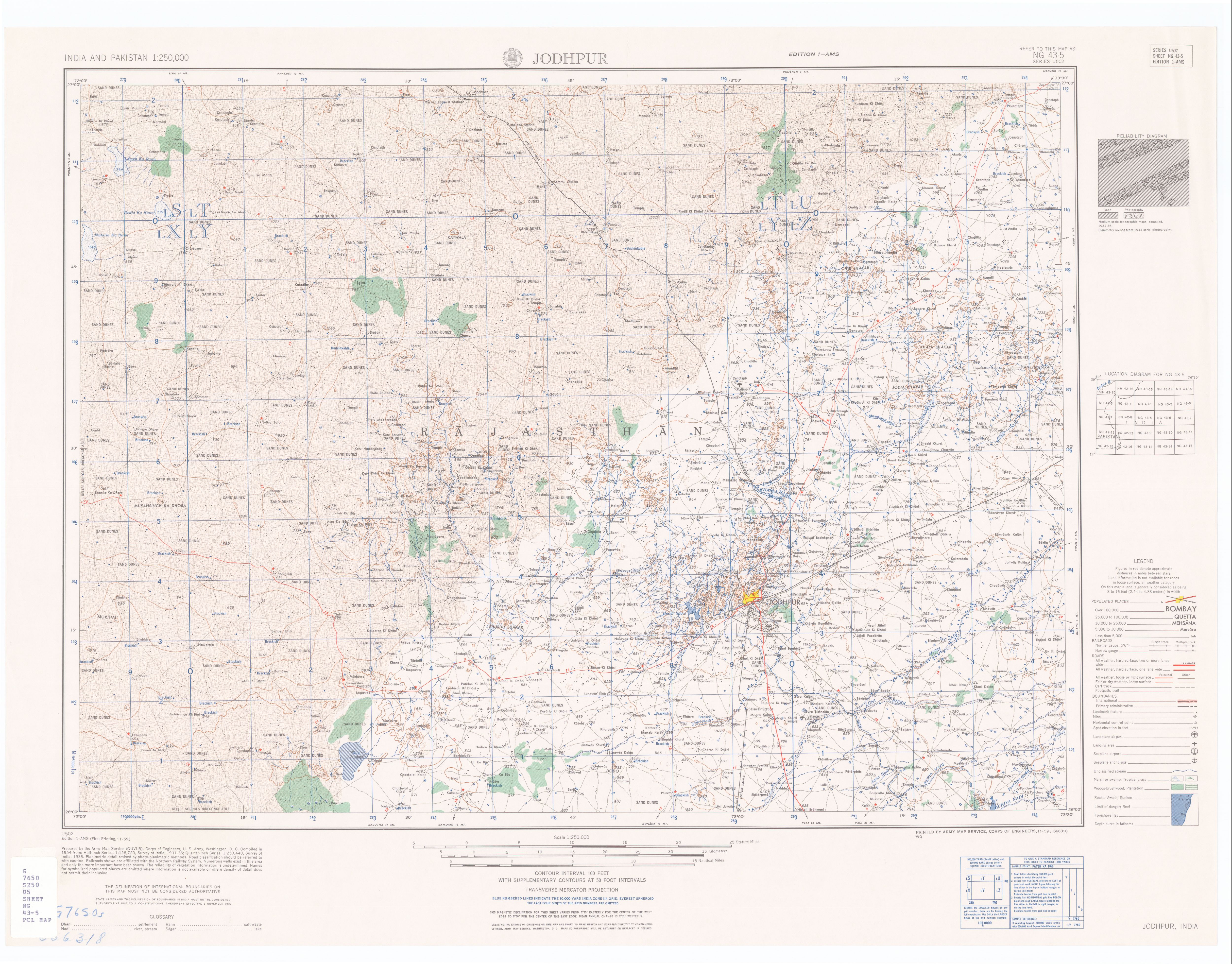
- ^ a b Jodhpur India, Sheet NG 43-05 (topographic map, scale 1:250,000), Series U-502, United States Army Map Service, November 1959
- ^ 2001 Census Village code for Birami = 01969100, "2001 Census of India: List of Villages by Tehsil: Rajasthan" (PDF). Registrar General & Census Commissioner, India. p. 391. Archived (PDF) from the original on 13 November 2011.
- ^ a b 2011 Census Village code for Birami = 085008, "Reports of National Panchayat Directory: List of Census Villages mapped for Birami Gram Panchayat, Luni, Jodhpur, Rajasthan". Ministry of Panchayati Raj, Government of India. Archived from the original on 21 May 2013.
- ^ Almost 80% of the total annual rainfall is received during the southwest monsoon, which enters the district in the first week of July and withdraws in the middle of September. "Groundwater Scenario; Jodhpur District, Rajasthan" (PDF). Central Ground Water Board, Ministry of Water Resources, Government of India. p. 1. Archived (PDF) from the original on 15 May 2012.
- ^ "Census 2001 Population Finder: Rajasthan: Jodhpur: Jodhpur: Birami". Office of The Registrar General & Census Commissioner, Ministry of Home Affairs, Government of India. Archived from the original on 21 May 2013.
- ^ "Biramidarshan" (in Hindi).
External links[edit]
- "Official Website of Jodhpur District". Archived from the original on 23 May 2013.
This article related to a location in Rajasthan is a stub. You can help Wikipedia by expanding it. |