
Kojo-Keleng
Kojo-Keleng
Кожо-Келең | |
|---|---|
 Kojo-Keleng | |
| Coordinates: 39°58′00″N 72°57′50″E / 39.96667°N 72.96389°E | |
| Country | Kyrgyzstan |
| Region | Osh |
| District | Kara-Suu |
| Elevation | 2,200 m (7,200 ft) |
| Population (2021) | |
| • Total | 2,224 |
| Time zone | UTC+6 |
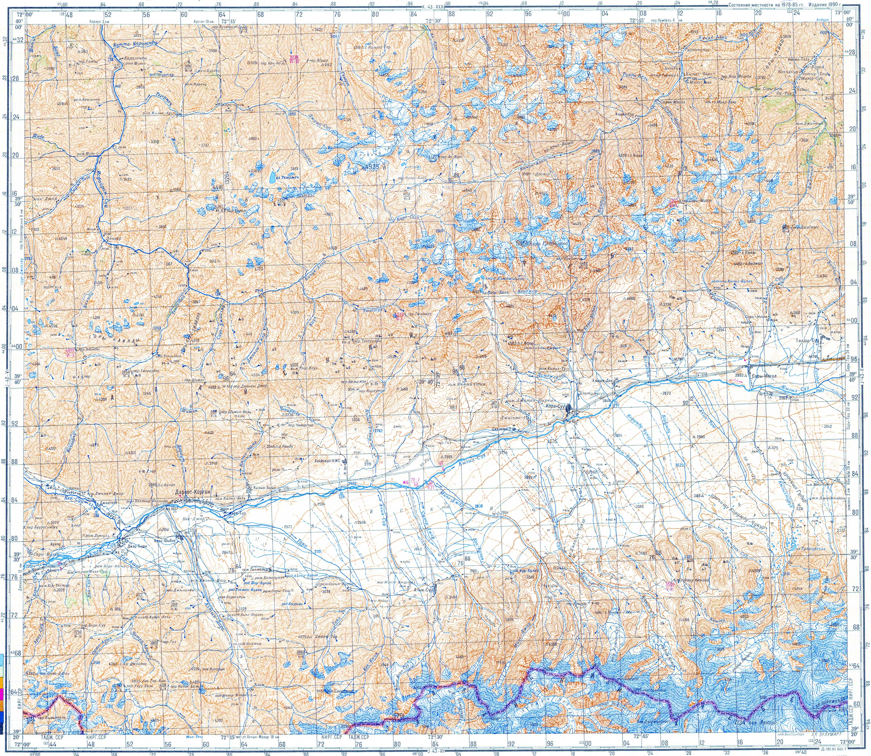
Kojo-Keleng (Kyrgyz: Кожо-Келең,[1] also Кызыл-Тала Kyzyl-Tala)[2] is a mountain village in Osh Region of Kyrgyzstan. It is part of the Kara-Suu District.[1] It lies in the valley of the river Jiptiksuu,[2] a tributary of the Ak-Buura.[3] Its population was in 2,224 in 2021.[4]
References[edit]
- ^ a b "Classification system of territorial units of the Kyrgyz Republic" (in Kyrgyz). National Statistics Committee of the Kyrgyz Republic. May 2021. pp. 50–54.
- ^ a b Soviet military map J-43-01 (1:200,000)
- ^ "Акбуура" [Akbuura] (PDF). Кыргызстандын Географиясы [Geography of Kyrgyzstan] (in Kyrgyz). Bishkek. 2004. p. 179.
{{cite encyclopedia}}: CS1 maint: location missing publisher (link) - ^ "Population of regions, districts, towns, urban-type settlements, rural communities and villages of Kyrgyz Republic" (XLS) (in Russian). National Statistics Committee of the Kyrgyz Republic. 2021. Archived from the original on 10 November 2021.
This Osh Region location article is a stub. You can help Wikipedia by expanding it. |