Apaxco de Ocampo (town)
Apaxco de Ocampo | |
|---|---|
Municipal Seat | |
 | |
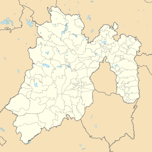
| Coordinates: 19°58′24″N 99°10′12″W / 19.97333°N 99.17000°W | |
| Country | |
| State | State of Mexico |
| Region | Zumpango Region |
| Municipality | Apaxco |
| Founded | 1168 |
| Elevation | 2,195 m (7,201 ft) |
| Population (2010) | |
| • Total | 13,836[1] |
| Time zone | UTC-6 (Central Standard Time) |
| • Summer (DST) | UTC-5 (Central Daylight Time) |
| Postal code (of seat) | 55660 |
| Website | http://www.apaxco.gob.mx/ |
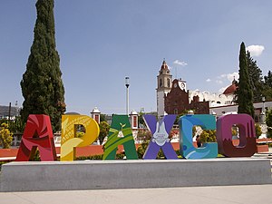
Apaxco de Ocampo is a town and the municipal seat of the Apaxco municipality, Mexico State in Mexico. As of 2010, the town has a population of 13,836.[1]
References[edit]
- ^ a b "Population and Housing Census 2010". INEGI.org. National Institute of Statistics and Geography. 2010. Retrieved 5 July 2018.


