
Kaguvere
Kaguvere | |
|---|---|
Village | |
 Kaguvere Location in Estonia | |
| Coordinates: 58°49′59″N 024°19′12″E / 58.83306°N 24.32000°E | |
| Country | |
| County | Rapla County |
| Parish | Märjamaa Parish |
| Time zone | UTC+2 (EET) |
| • Summer (DST) | UTC+3 (EEST) |
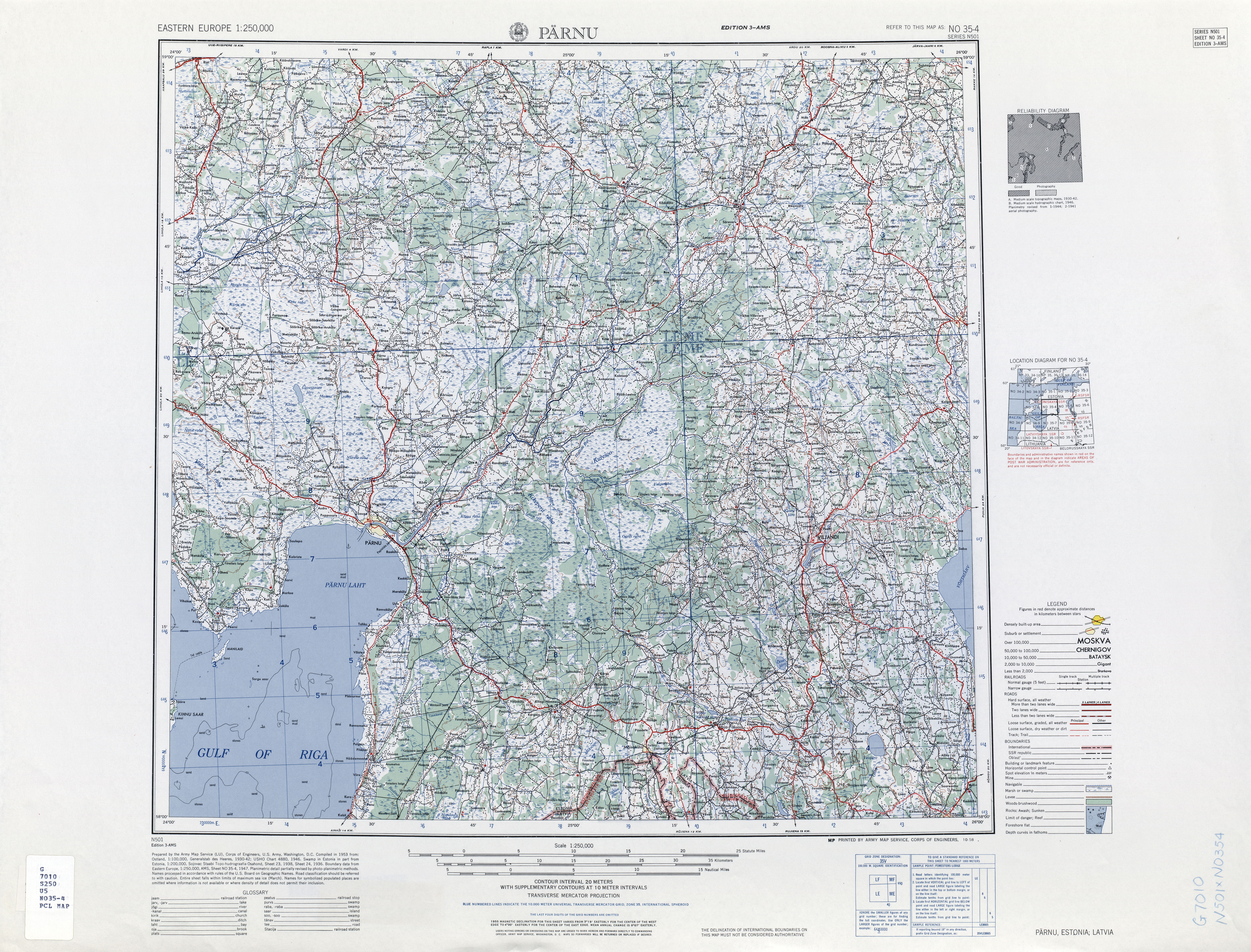
Kaguvere is a village in Märjamaa Parish, Rapla County in western Estonia,[1][2] north of the Teenuse River.[3]
Notes[edit]
- ^ Classification of Estonian administrative units and settlements 2014[dead link] (retrieved 28 July 2021)
- ^ Kaguvere (Approved) at GEOnet Names Server, United States National Geospatial-Intelligence Agency
- ^ Pärnu, Estonia; Latvia, Sheet NO 35-04 (topographic map, scale 1:250,000), Series N-501 (third ed.), United States Army Map Service, October 1958

This Rapla County location article is a stub. You can help Wikipedia by expanding it. |