Skottinden
| Skottinden | |
|---|---|
 Skottinden on Vestvågøya | |
| Highest point | |
| Elevation | 671 m (2,201 ft)[1] |
| Prominence | 663 m (2,175 ft)[1][2] |
| Coordinates | 68°04′54″N 13°29′32″E / 68.08167°N 13.49222°E |
| Geography | |
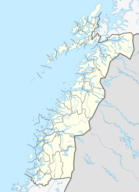
Location in Nordland | |
| Location | Vestvågøy, Nordland, Norway |
| Topo map | 1031-II Leknes |
Skottinden is a mountain in the Lofoten archipelago, in Nordland county, Norway. It is located on the southwestern part of the island of Vestvågøya in Vestvågøy Municipality. The 671-metre (2,201 ft) tall mountain is situated about 2 kilometres (1.2 mi) northwest of the village of Ballstad and about 1 kilometre (0.62 mi) east of the Nappstraumen strait separating the islands of Vestvågøya and Flakstadøya.

The southern ridge of Skottinden has several lesser summits: Sengestokken, Blåtinden, and Munkan.[3]
References[edit]
- ^ a b "The Major Mountains of Nordland". Retrieved 2012-06-22.
- ^ "Skottinden". haramfjell.no. Retrieved 2012-06-22.
- ^ Vestvågøy, Turkart 1:50 000 (Map) (2007 ed.). Cartography by Statens Kartverk, Norway. Den Norske Turistforening.


