
Shinga Deuxième
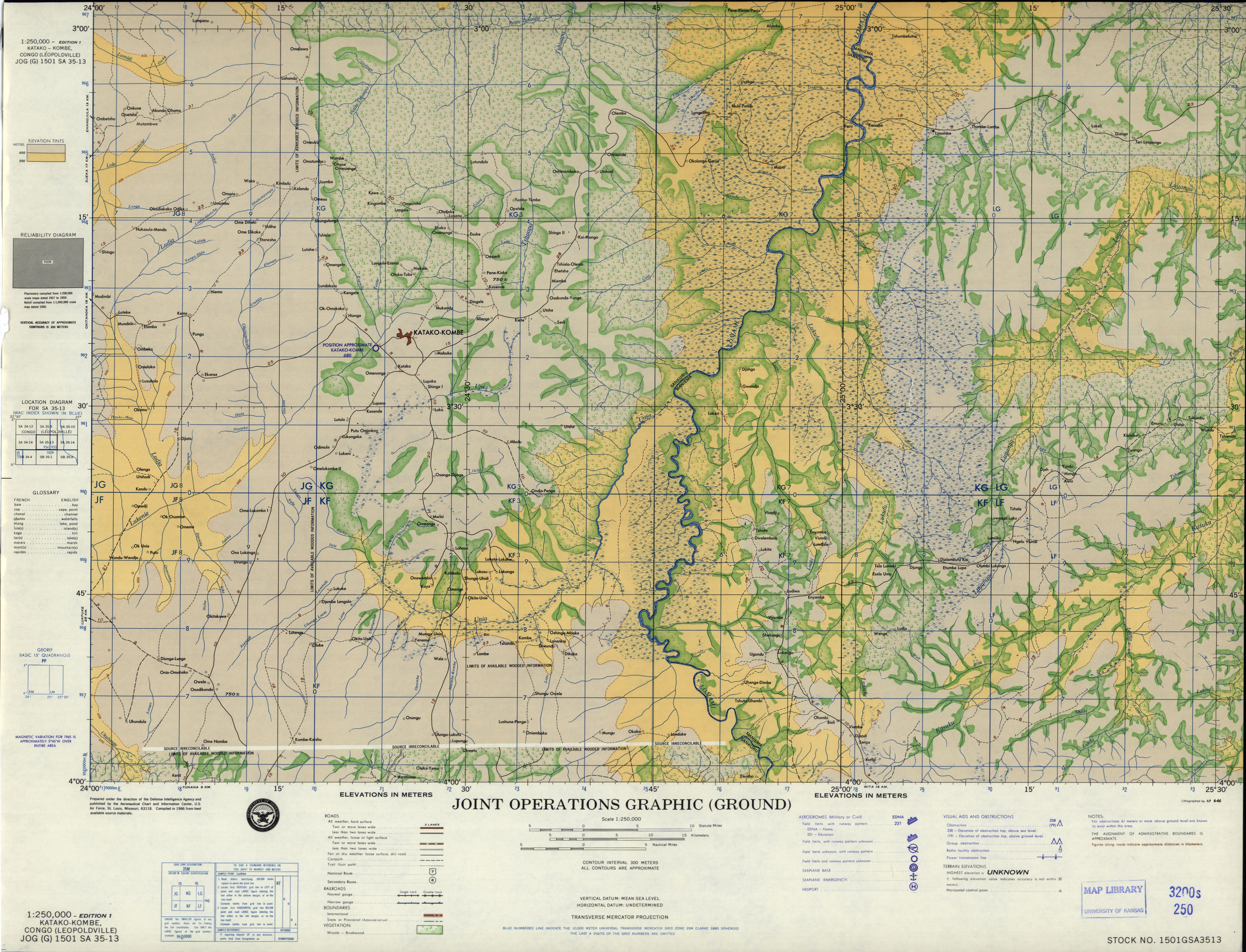
Shinga Deuxième (Shinga,[1] Shinga II[2]) is a village in Sankuru province of the Democratic Republic of the Congo.[3] It lies at an elevation of 611 meters along highway A807 fifty kilometers by road northwest of the town of Katako-Kombe, and just east of the Tshuapa River.[4]
Notes[edit]
- ^ Shinga (Variant) at GEOnet Names Server, United States National Geospatial-Intelligence Agency
- ^ Shinga II (Variant) at GEOnet Names Server, United States National Geospatial-Intelligence Agency
- ^ Shinga Deuxième (Approved) at GEOnet Names Server, United States National Geospatial-Intelligence Agency
- ^ SA 35-13, Katako-Kombe, Congo (Leopoldville) (Map). 1:250,000. Defense Intelligence Agency. June 1966.
External links[edit]
- "Shinga II". WikiMapia.
03°15′20″S 024°37′41″E / 3.25556°S 24.62806°E
This Democratic Republic of the Congo location article is a stub. You can help Wikipedia by expanding it. |